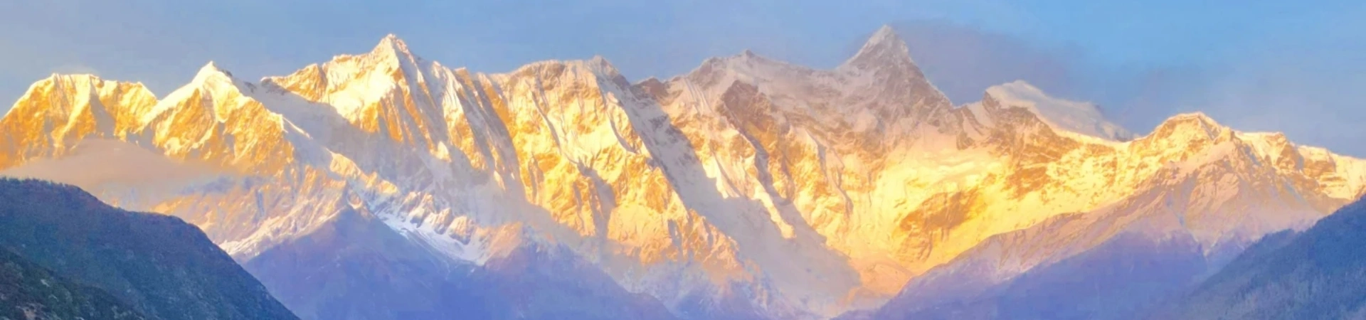
Namjagbarwa Peak
Namjagbarwa Peak, also known as "The Spear Piercing the Sky," is Tibet’s holiest and most visually striking mountain. Standing at 7,782 meters (25,531 feet), it ranks as the world’s 15th highest peak and China’s "Most Beautiful Mountain" according to China National Geography. Nestled in Nyingchi Prefecture, southeastern Tibet, the peak is shrouded in year-round clouds, earning it the nickname "Shy Girl Peak." Its dramatic triangular summit, carved by glacial erosion, forms the northern boundary of the Yarlung Tsangpo Grand Canyon—the world’s deepest canyon. A sacred site in Tibetan Buddhism, Namjagbarwa is believed to be the dwelling of mountain deities, with locals venerating it as a "Road to Heaven."
Historical Overview
The mountain’s name derives from Tibetan mythology: two immortal brothers, Namjagbarwa and Gyalabele, were tasked with guarding Tibet’s southeast. Jealous of his younger brother’s strength, Namjagbarwa beheaded Gyalabele, who transformed into the nearby round-topped Gyala Peri peak. Namjagbarwa, overcome with guilt, forever hides his face behind clouds. The peak was first summited in 1992 by a Sino-Japanese expedition. Scientifically, it marks the eastern Himalayan syntaxis—a geological hotspot where tectonic plates collide, causing rapid uplift and seismic activity.
Structural Layout
The peak’s geology reflects the Himalayan orogeny:
- Core Zone: The summit’s gneiss and granite spire, rising 2 kilometers vertically from the canyon floor.
- Transition Zone: Alpine meadows (4,000–5,000 meters) give way to subtropical rainforests (2,000–3,000 meters), showcasing five vegetation belts.
- Cultural Zone: Nearby villages like Zhibai and Daduka offer viewpoints, while the Yarlung Tsangpo River carves a 500-km-long canyon beneath the peak.
Key landmarks include the Serkyimla Pass (Sichuan-Tibet Highway) and Gega Village trailhead for mountaineers.
Major Attractions
- Namjagbarwa Summit: The elusive peak, often glimpsed at dawn or dusk when clouds temporarily part.
- Yarlung Tsangpo Grand Canyon: A UNESCO geopark with rafting routes and tropical biodiversity.
- Zhibai Village: A prime viewing spot 10 km from the peak, ideal for photography.
- Dawn Clouds: Local lore claims only sincere visitors witness the peak’s full glory.
- Geological Profiles: Scientists study its apatite fission tracks to decode Himalayan uplift.
Suggested Itineraries
- Classic Route (2–3 hours):
Entrance → Serkyimla Pass Viewpoint → Zhibai Village → Gega Trailhead
Highlights: Panoramic vistas, local folklore, and peak photography. - Adventure Route (5–6 hours):
Entrance → Daduka Ancient Castle → Yarlung Tsangpo Boat Tour → Nanga Bawa Waterfall
Highlights: Cultural ruins, river cruises, and rainforest hikes. - Comprehensive Route (Full Day):
Entrance → Dawn Cloud Watching → Mountaineering Base Camp → Sunset at Gega
Highlights: Geological insights, stargazing, and alpine flora.
Ticket Purchase
- Free Access: The peak itself requires no tickets, but nearby attractions (e.g., Yarlung Tsangpo Scenic Area) charge:
- Peak Season (April–October): ¥150 (adults), ¥75 (students).
- Off-Season (November–March): ¥120 (adults), ¥60 (students).
- Permits: Foreign travelers need a Tibet Travel Permit, obtainable via licensed agencies.
Transportation
- From Lhasa:
- Bus: 8-hour ride to Nyingchi (¥200–300), then taxi to viewpoints (¥50–100).
- Charter: ¥600–1000/day for private cars with drivers.
- Self-Drive: Follow G318 National Highway to Nyingchi, then provincial roads to viewpoints.
Best Time & Tips
- Peak Season: October–November (stable airflow, minimal rain).
- Avoid Crowds: Visit early (7–8 AM) or after 4 PM; weekdays are quieter.
- Essentials:
- Dress in layers (temperatures swing 10–15°C daily).
- Bring sunscreen, insect repellent, and a tripod for long exposures.
- Respect local customs: Remove hats indoors, ask before photographing people.
- Prohibited: Drones, littering, and off-trail hiking.


Contact Us
What Our Clients Say?
Based on 10,000+ traveler reviews

Daniel Dorothea
Canada
Reviewed on April 29,2025
Shopping on Nanjing Road in Shanghai was just amazing! It's truly the "First Commercial Street of China", where tradition and modernity blend perfectly. You can find awesome souvenirs and experience the trendy vibes in cool stores. The neon lights at night are just spectacular, shining bright like Times Square in New York. The food here is incredible too. I had a feast for my taste buds. Shanghai, I'll definitely be back!
Destination(s):
Shanghai
Date of
Experience:
May 08,2024


Elvis Eva
Canada
Reviewed on June 20,2025
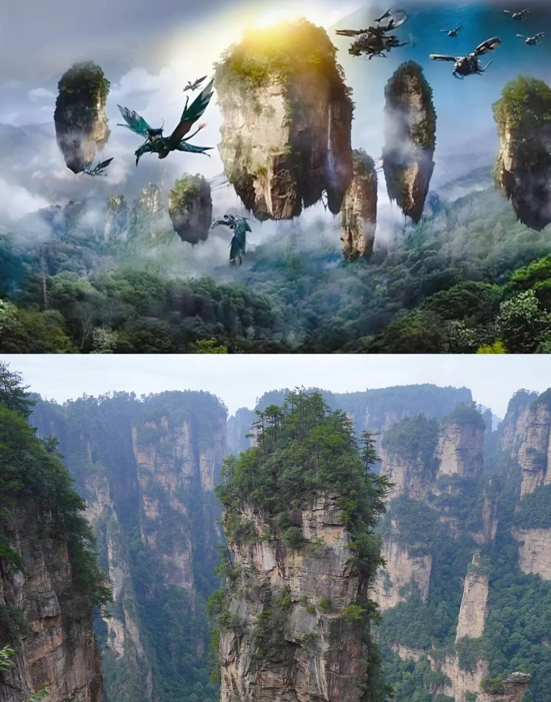
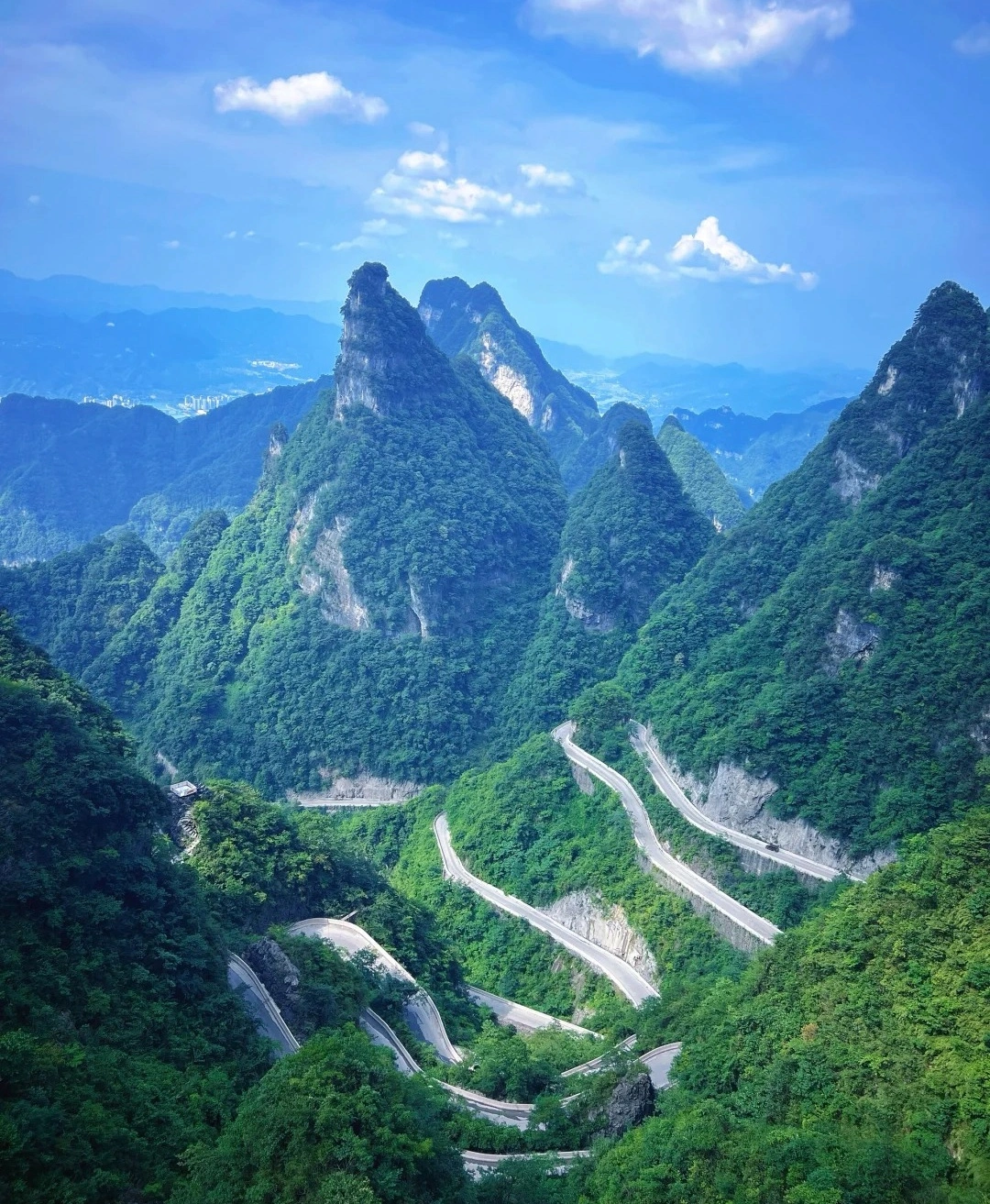
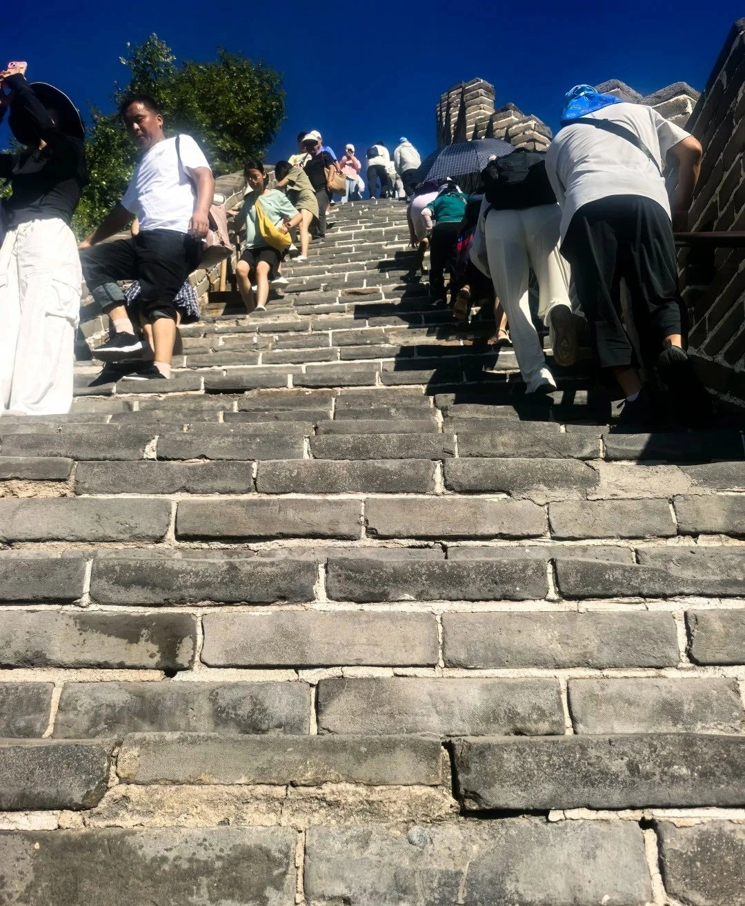
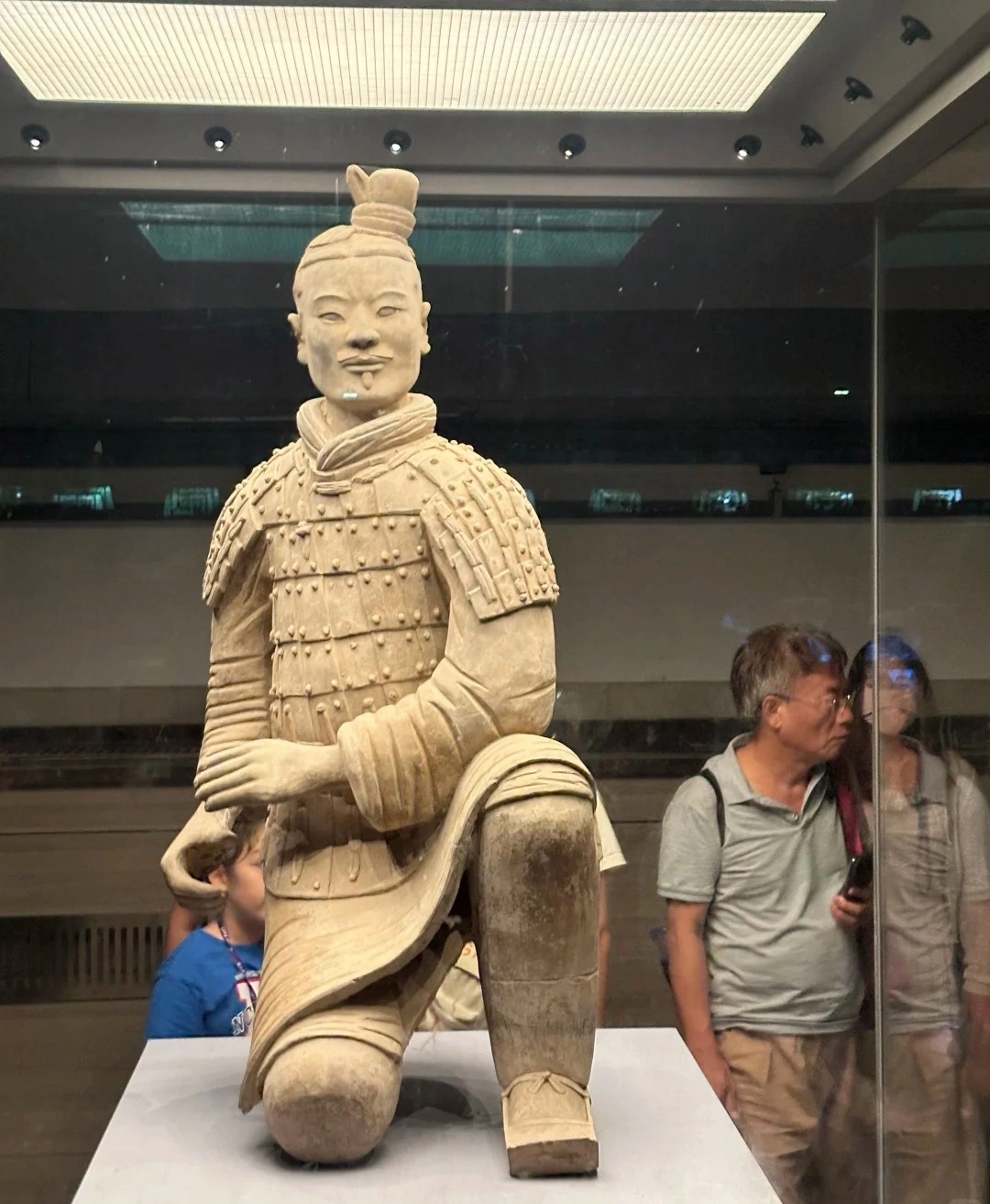
As a solo traveler from Canada, I was nervous about navigating China alone—but this 11-day tour was PERFECT! From hiking the Great Wall at sunrise (Day 3) to gasping at the Terracotta Army (Day 5), every day delivered ‘pinch-me’ moments. The real showstopper? Zhangjiajie’s Avatar Mountains (Day 7)! Our guide made the stone pillars come alive with stories.
Massive thanks for handling all logistics—bullet train tickets, entry passes, car! And the 4-star hotels surprised me.
Destination(s):
Beijing Xian Zhangjiajie Shanghai
Date of
Experience:
June 02,2025

Simon
America
Reviewed on May 29,2025
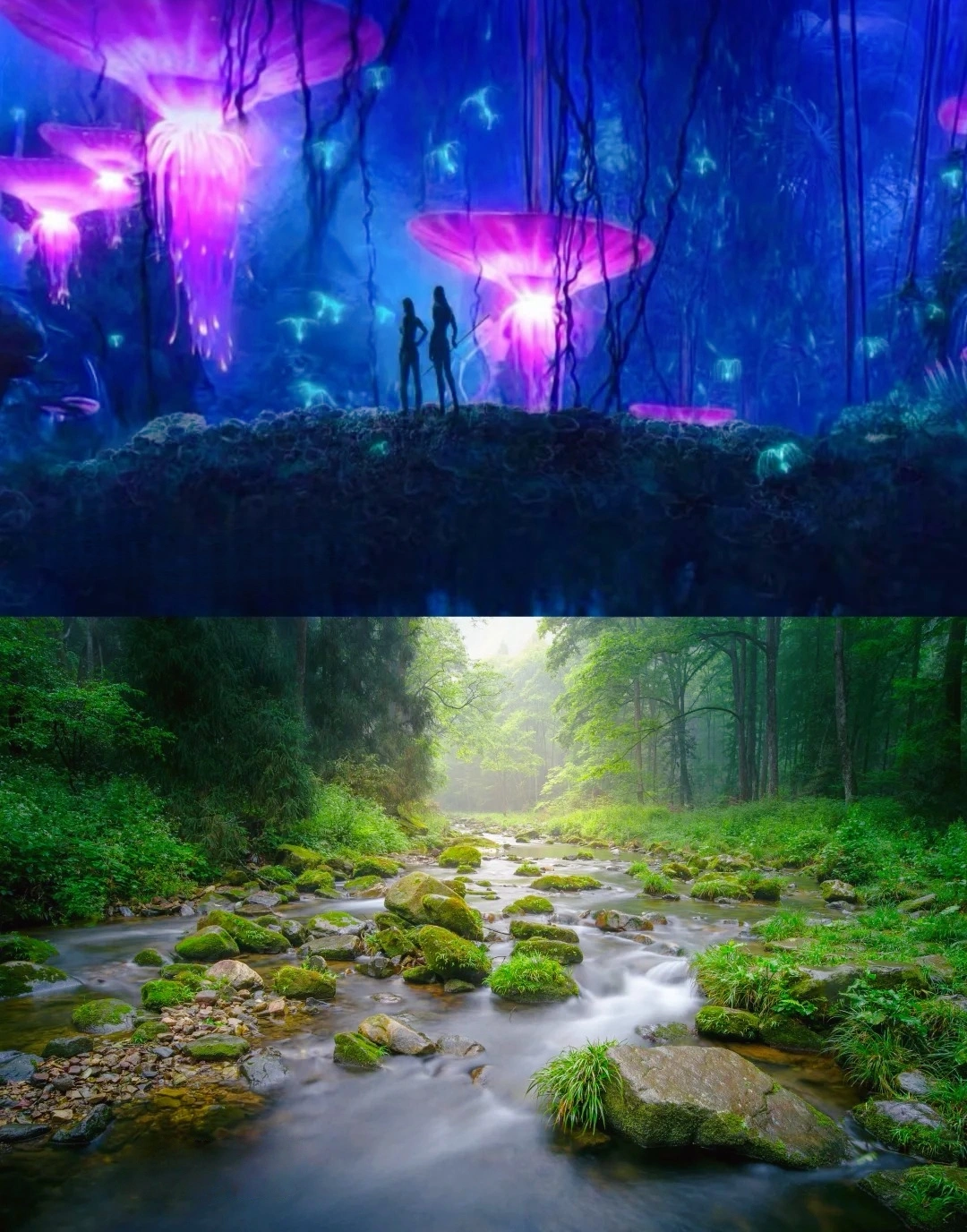
Our 2-day Zhangjiajie tour was beyond spectacular! As someone who’s visited Beijing and Shanghai for work, this trip revealed China’s wild, magical heart. Day 1 in Zhangjiajie National Forest Park felt like stepping onto Pandora—I’m a huge Avatar fan, and Yuanjiajie’s floating peaks left me breathless. The misty pillars and lush valleys like pure movie magic!
Then came Fenghuang Ancient Town, we eat dinner beside the thundering waterfall. It seems Unreal! The night views of stilt houses glowing over the river were straight from a fairy tale.
For fellow Avatar lovers and adventure seekers: Don’t miss this bucket-list experience! 10/10 would return.
A Well-Traveled Film Buff, May 2025
Destination(s):
Zhangjiajie
Date of
Experience:
May 08,2025